White River National Forest Ride, May 2002
Coffeepot Campgrounds 5/26/2002 to 5/28/2002
In 2002 there was a drought and the snow back was very low “Drought of 2002 was the worst since 1685 … or so“, what better time to ride the Flat Tops in late May, what could go wrong there is no snow. The adventure started on Sunday the 26th. We were able to get the last camp site on Sunday around noon, we setup camp right then before we started the adventure.
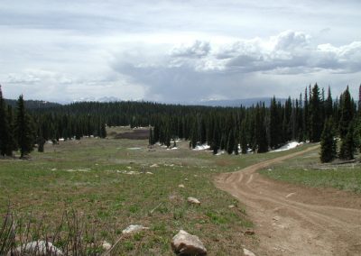
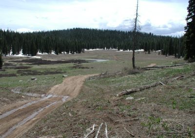
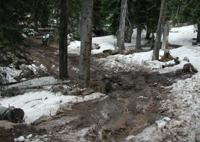
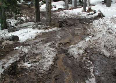
Sunday – The ride lasted for 50 miles and a lot of snow. The road was mostly dry but where the snow drifts closed the road to vehicle travel. As it warmed up the snow was soft and our bikes got stuck, made travel very slow in some areas. We planned on going to Hart Lake and on to Adams Lake, we did get to Hart Lake but there was no chance of getting to Adams Lake (we got within 5 miles with a lot of hard work).
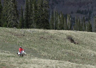
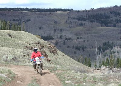
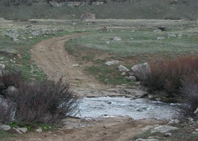
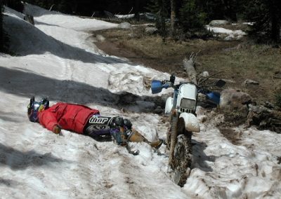
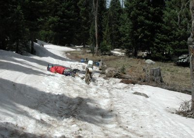
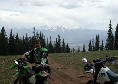
Monday – The ride lasted 80 miles and no heart failure so that was good day for us. The day started at 9:15am we planned on going over to the transfer trail and take the turn off and go down over Storm King Mountain and go back up the transfer trail in Glenwood Springs after eating lunch. That was not going to happen this day, total time to Glenwood Springs was around 6 1/2 hours. The first stop was the cow camp, the water was fast and we did make it through without laying the bike down. “Don’t worry I think that we have made it past the worst part of the snow” I said, was I wrong, very wrong. You can only see one of the big drifts (look mom no hands) but trust me there was no time to take pictures with all of the other snow drifts. The only reason my friend (I hope he is not to mad at me for this) followed is because, “look it opens up, just a little snow off in the distance” I told him. Yes you guessed it, I was wrong. One of the last big obstacles was a hill made of mud, no it was just ice with mud over it. Yes, we made it and we are on our way down to Glenwood Springs don’t think we are going to make lunch.
We arrive in Glenwood Springs and made three stops. First stop, car/bike wash had to remove 10 lbs. of mud stuck to the bike and boots. Second stop, FOOD! Had Mexican food; it hit the spot. Third stop, gas. By the time we got to the gas station we were both on reserve. Now it is time to head back. We had two options, go back the way we came (NOT) or go through the Glenwood Canyon, turn off at Dotsero and head back up the Coffeepot road to camp (that was the option for us). What would you have done? We did make it back by 7 pm that day/night.
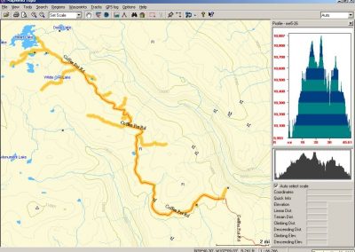
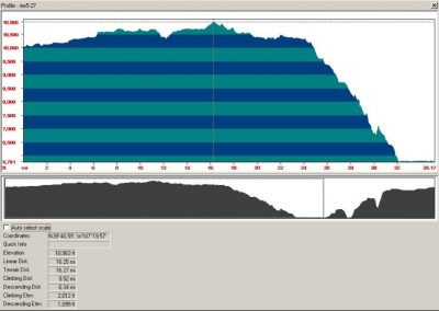
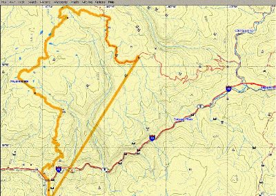
Profile of ride on 5/27/2002
Riding the Flat Tops into Glenwood Springs, CO. White River National Forest, CO
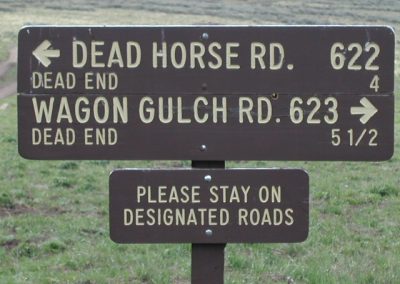
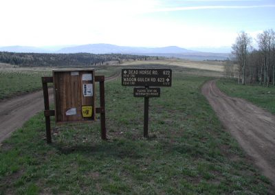
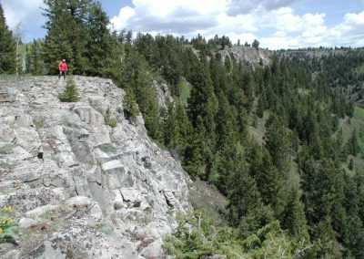
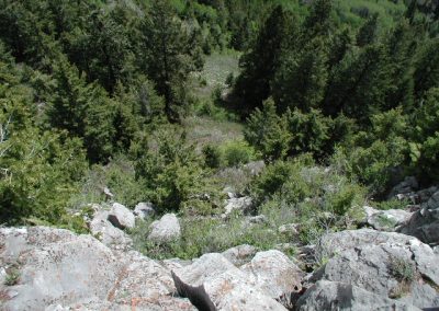
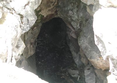
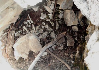
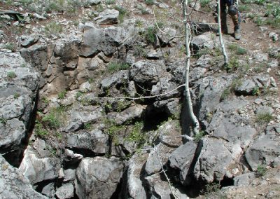
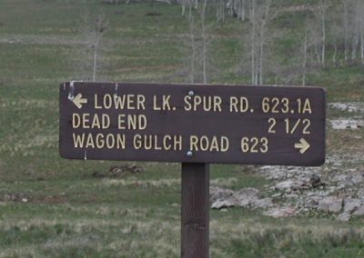
Tuesday – The ride lasted 30+ miles with NO snow. Traveled the 4 wheel drive road just west of Coffeepot campground for an easy ride to flex the body before the drive home. First we took the Dead Horse RD, good easy ride. We then took the Wagon Gulch RD., took a left at Lower LK. Spur RD. we found a cave but had no rope to explore. Just look at the last person that explored the cave without a rope, they never made it out (not for real). When you stand at the edge of the cliff be careful of the birds they like to fly about 2 feet from your head around 25 miles an hour, the first bird to fly by is sure to make you ask “what was that?”.
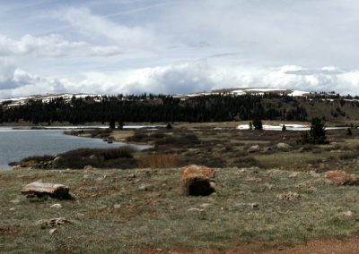
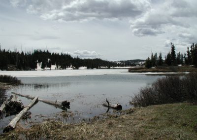
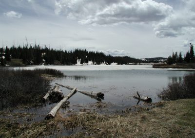
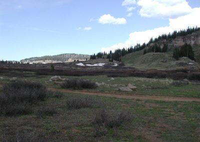
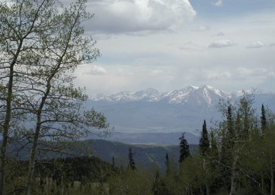
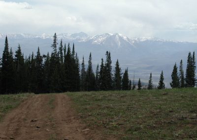
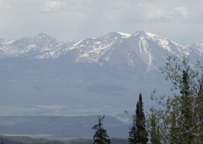
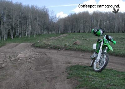
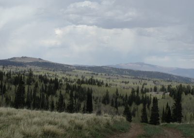
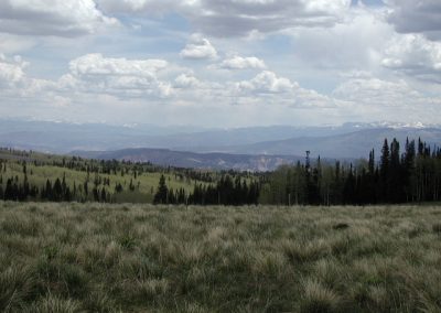
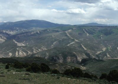
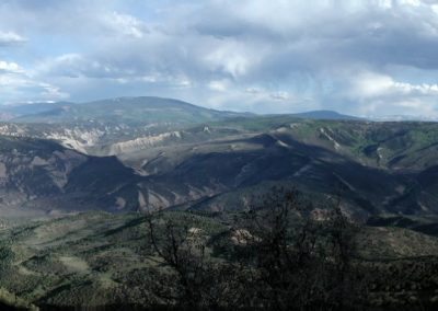
The ride is easy and the views are great, the panoramic pictures are of the Coffeepot road, the first was on Monday returning to camp and the second is on the drive home on Tuesday.
You can view the White River National Forest files for the area and download maps from https://www.fs.usda.gov/detail/whiteriver/home/?cid=stelprdb5328680
If you want just the Flat Tops overlay for Google Earth you can find the KMZ file here: https://www.fs.usda.gov/Internet/FSE_DOCUMENTS/stelprd3841707.kmz
